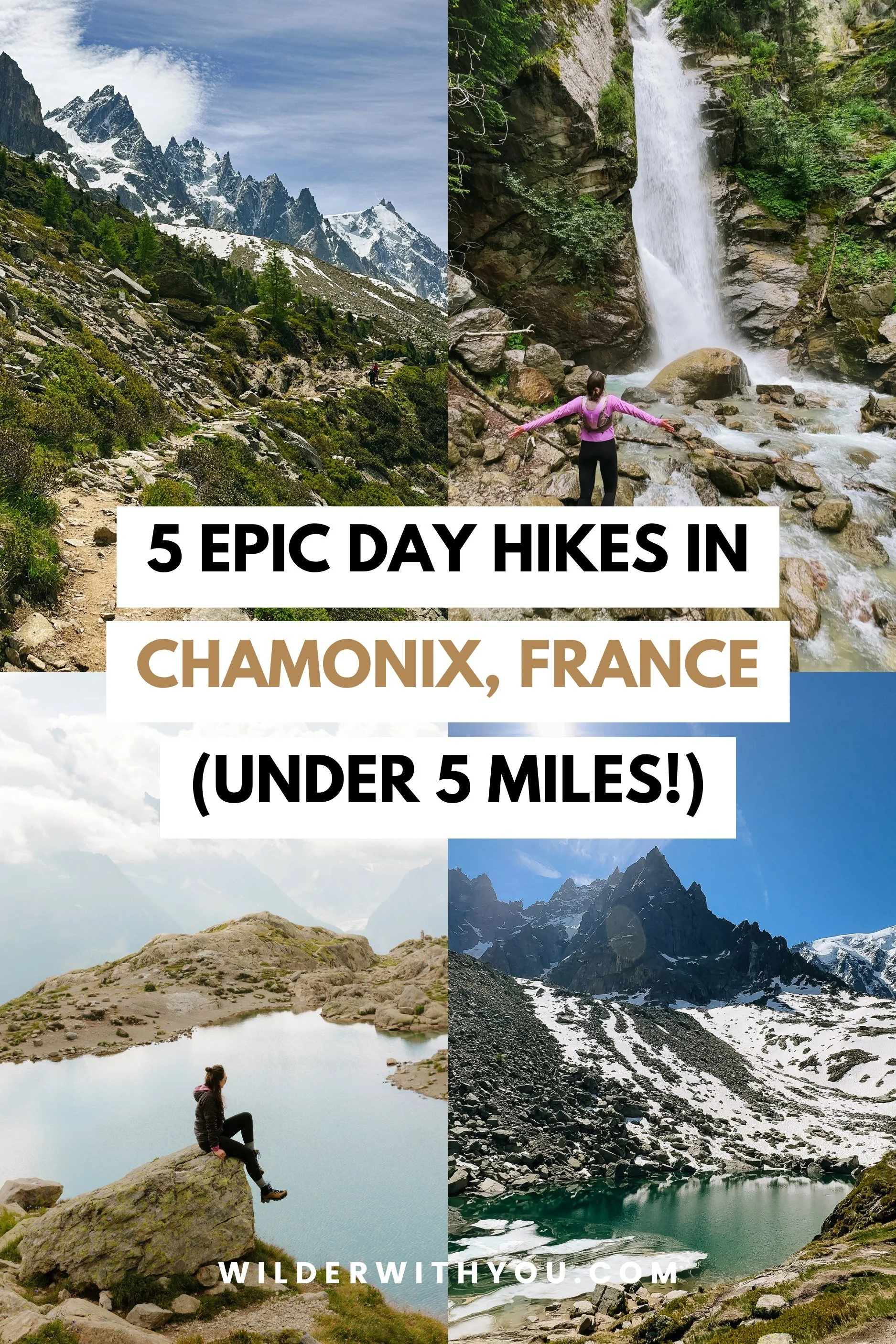
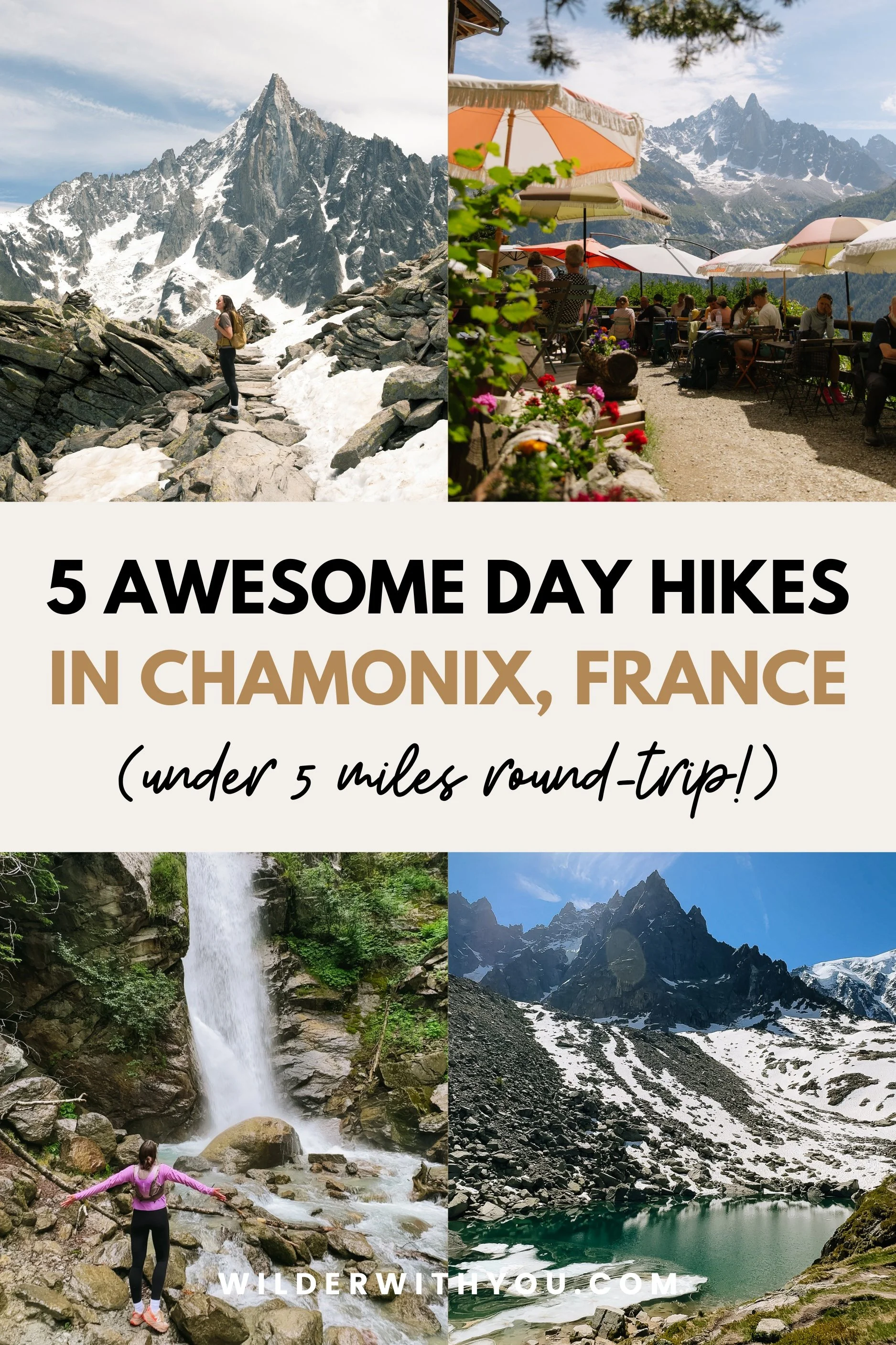
5 Best Day Hikes in Chamonix, France (All Under 5 Miles!)
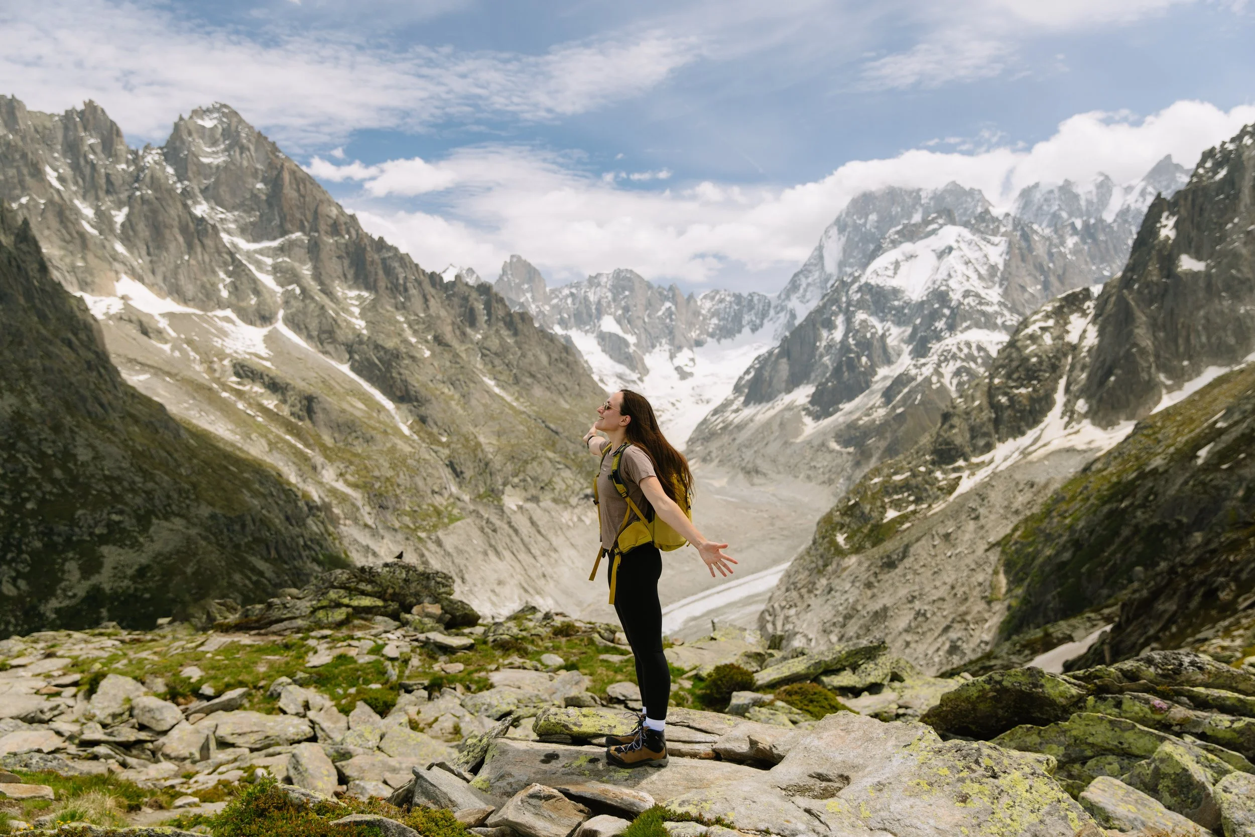
I've visited Chamonix three times now and hiked every trail on this list personally - and loved all of them! The best part is that most of the hiking in Chamonix is far more accessible than it looks, thanks to the gondola and lift systems. Here are the top day hikes I would recommend to anyone.
This post may contain affiliate links. That means if you click and buy, I may make a commission at no cost to you. Please see my full disclosure policy for more details.
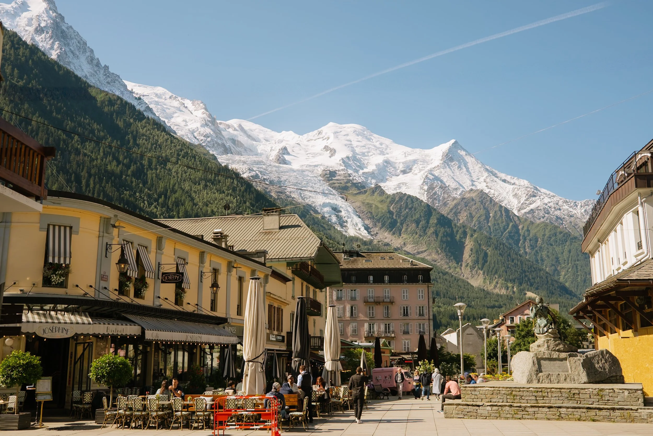
Chamonix has a reputation as a place for serious mountaineering excursions and lengthy thru-hiking - and yes, if you want to attempt some epic adventures like that, then this is your perfect base! But, there is also so much available for day hiking and “easier” outdoor activities.
The Chamonix valley has some of the most stunning day hiking in all of Europe, with much of it made accessible by an incredible network of gondolas, cable cars and chairlifts that do some of the hard elevation work for you.
Every trail on this list of the best day hikes in Chamonix is under 5 miles, doable in half a day, and are trails that I wouldn’t hesitate to hike again and again. I loved them all! I've ranked them from easiest to hardest so you can plan your days accordingly, and I've been honest about what makes each one hard or easy, because that varies a lot depending on which route you take.
One note before we dive in: most of these trails that use gondola/lift access are covered by the Mont Blanc Multipass, which covers the lift systems you'll need. If you're planning to use multiple lifts across multiple days, buying the multipass in advance saves both money and time. I highly recommend! Now let’s get into it.
Table of Contents
Introduction
Hiking in Chamonix: My Experience & Honest Thoughts
Best Day Hikes in Chamonix, France
1.Lac Bleu
Cascade du Dard
Chalet de la Floria
Grand Balcon Nord
Lac Blanc
Tips for Hiking in Chamonix
FAQ
Final Thoughts

Hiking in Chamonix: My Experience & Honest Thoughts
I'll say something that might be controversial coming from someone who lives in northern Italy: I might actually love hiking in Chamonix and the French Alps more than the Dolomites (please don't come for me!)
Here's why. Every time I've hiked in Chamonix, it's been less busy than comparable trails back home in northern Italy - and maybe that's down to timing, weather, or some other reasonable factor.
But the bigger reason? Glaciers!! I live for a glacier view. It's my absolute favorite thing to see from a trail, and in Chamonix you have at least one - sometimes multiple - in sight on almost every hike. Add the jagged, often snow-capped peaks surrounding the valley and the vibe is just...unmatched. I find myself stopping constantly, which is both a joy and a problem when you're trying to actually complete a trail in a reasonable timeframe.
Looking for other things to do besides hiking?
Read next: 10 Best Things to Do in Chamonix in Summer
Best Day Hikes in Chamonix, France
1. Lac Bleu (from Plan de l'Aiguille)
Distance: 0.9 miles | Elevation gain: 160 ft | Est. time: 0.5-1 hour | Trail type: Out-and-Back
Starting point: Plan de l'Aiguille mid-station (Aiguille du Midi gondola)
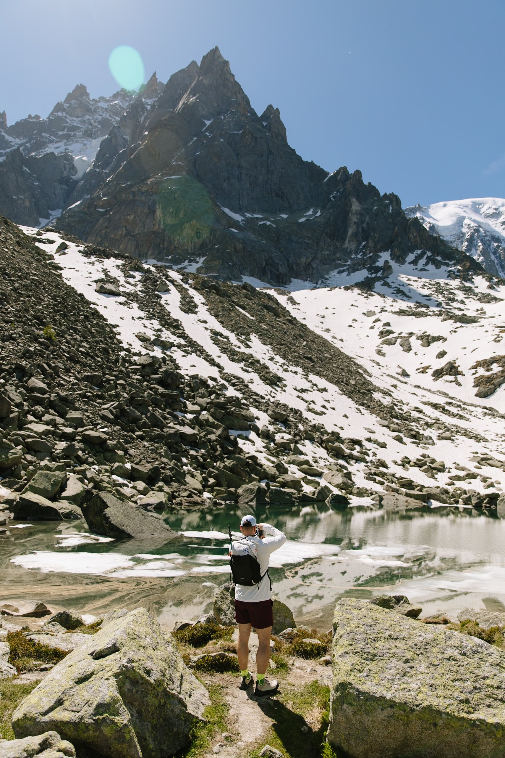
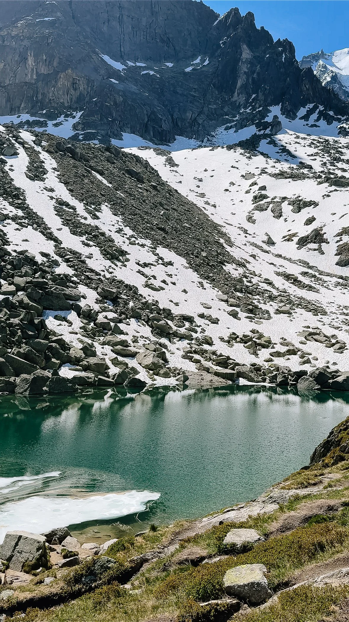
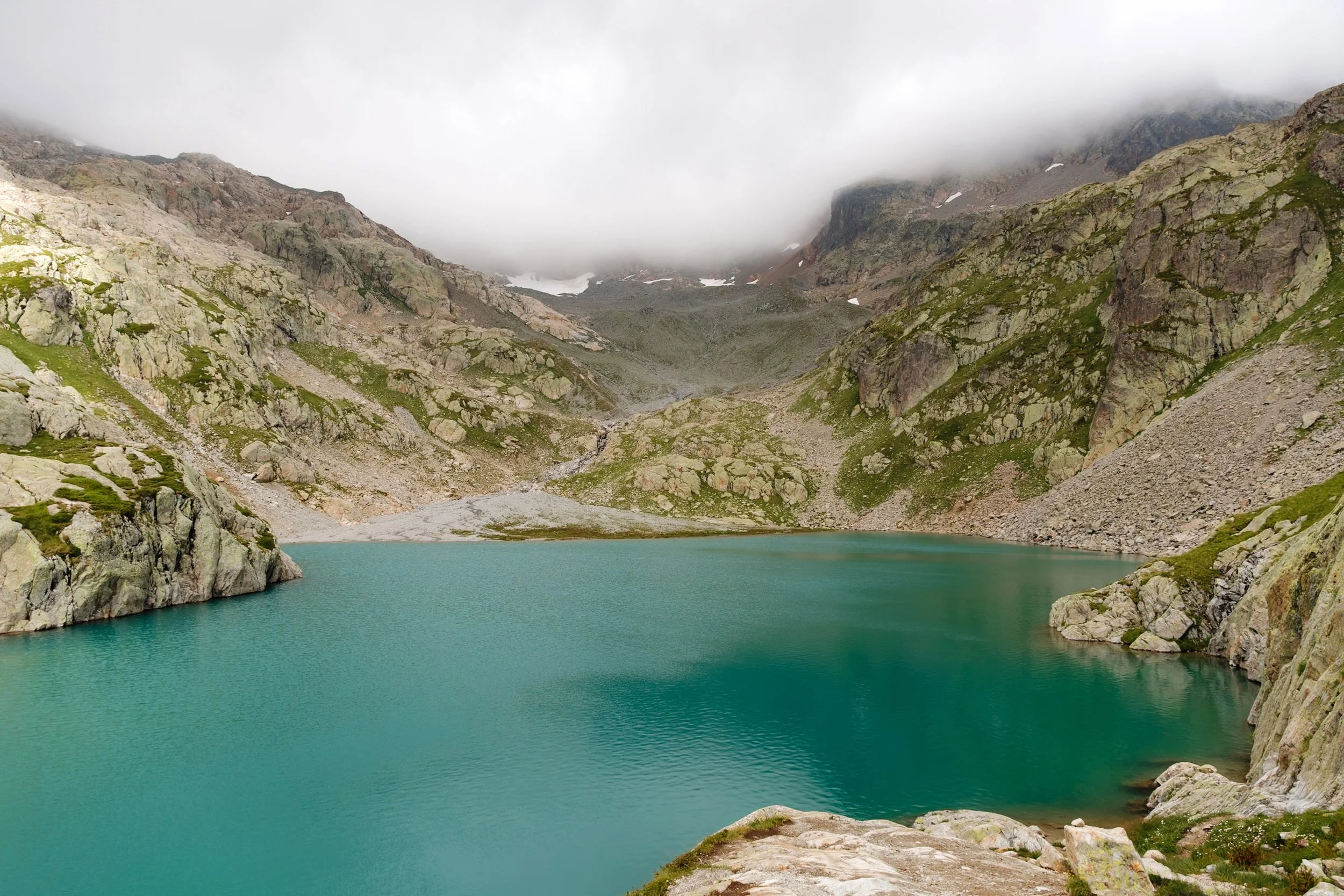
The shortest hike on this list and the easiest. Lac Bleu is a tiny alpine lake tucked into the rugged, boulder-strewn landscape near the Aiguille du Midi mid-station, and it has an amazing vivid turquoise color. I visited in early June when some of the higher elevation spots still had patches of snow, and the lake was still partially iced over - which somehow made it even more dramatic, the deep turquoise water peeking out from under a white and grey landscape.
The lake doesn't come into view until you're almost right on top of it - it's hidden behind a rise in the terrain, which makes the moment you first see it a very nice surprise. From the mid-station, follow the signs for Lac Bleu (trail 46) and you'll be there in well under a half hour.
It’s great as a detour: If you're already planning to do the Grand Balcon Nord hike (which also starts from the Aiguille du Midi mid-station), Lac Bleu is an easy and worthwhile detour to add on. The two trails work beautifully together in a single half-day outing - do Lac Bleu first, then head back towards the mid-station to meet up with the Grand Balcon Nord trail.
Getting there: Take the Aiguille du Midi gondola from downtown Chamonix to the Plan de l'Aiguille mid-station. You do not need to get on the second gondola that takes you all the way to the top for this hike. Covered by the Mont Blanc Multipass.
2. Cascade du Dard
Distance: 2.30 miles | Elevation gain: 745 ft | Est. time: 1.5-2 hours | Trail type: Out-and-Back
Starting point: Downtown Chamonix
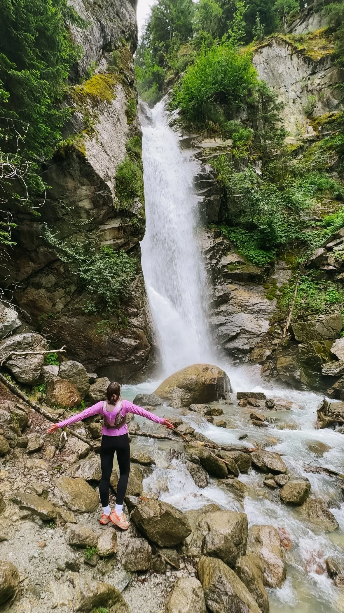
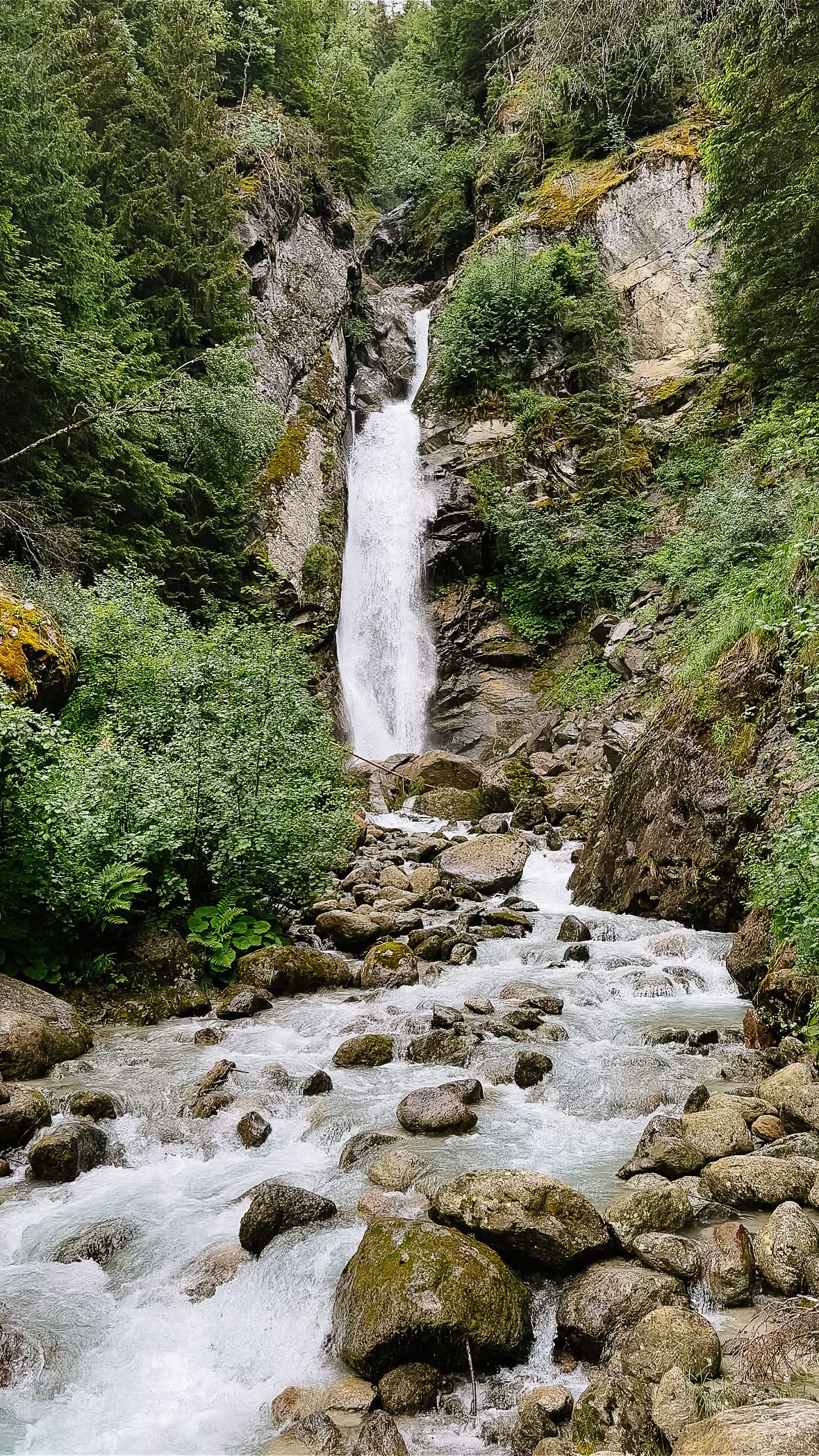
No lift needed for this one - you walk straight from the center of Chamonix. The trail climbs through forest and alongside a mountain stream before arriving at the Cascade du Dard, a waterfall that is significantly bigger and more powerful than I was expecting!
Standing at the base, you absolutely feel the mist - the water is crashing down with force and the spray reaches you well before you get up close. The water itself is completely crystal clear, and at the end of the trail, you can cross a sturdy wooden bridge to get a little closer.
Alongside the falls sits the Buvette de la Cascade du Dard- a small, charming stone hut serving food and drinks right next to the waterfall. We had already eaten by the time we arrived, but it looked like a perfect spot for a coffee or a cold drink after the climb up.
The trail itself winds uphill through lush forest alongside a rushing mountain stream (which is meltwater from the Pèlerins Glacier) the whole way up - cool, shaded, and a great contrast to some of the more exposed alpine hikes in the valley. We did this hike on a rainy day, and really appreciated having the tree cover overhead.
Getting there: The trail starts from downtown Chamonix. No lift or transport needed. Head toward (or park in) the Grépon parking lot (large parking lot for Aiguille du Midi), and follow the signs for Cascade du Dard.
3. Chalet de la Floria
Distance: 3.54 miles | Elevation gain: 948 ft | Est. time: 2-2.5 hours | Trail type: Out-and-Back
Starting point: Downtown Chamonix
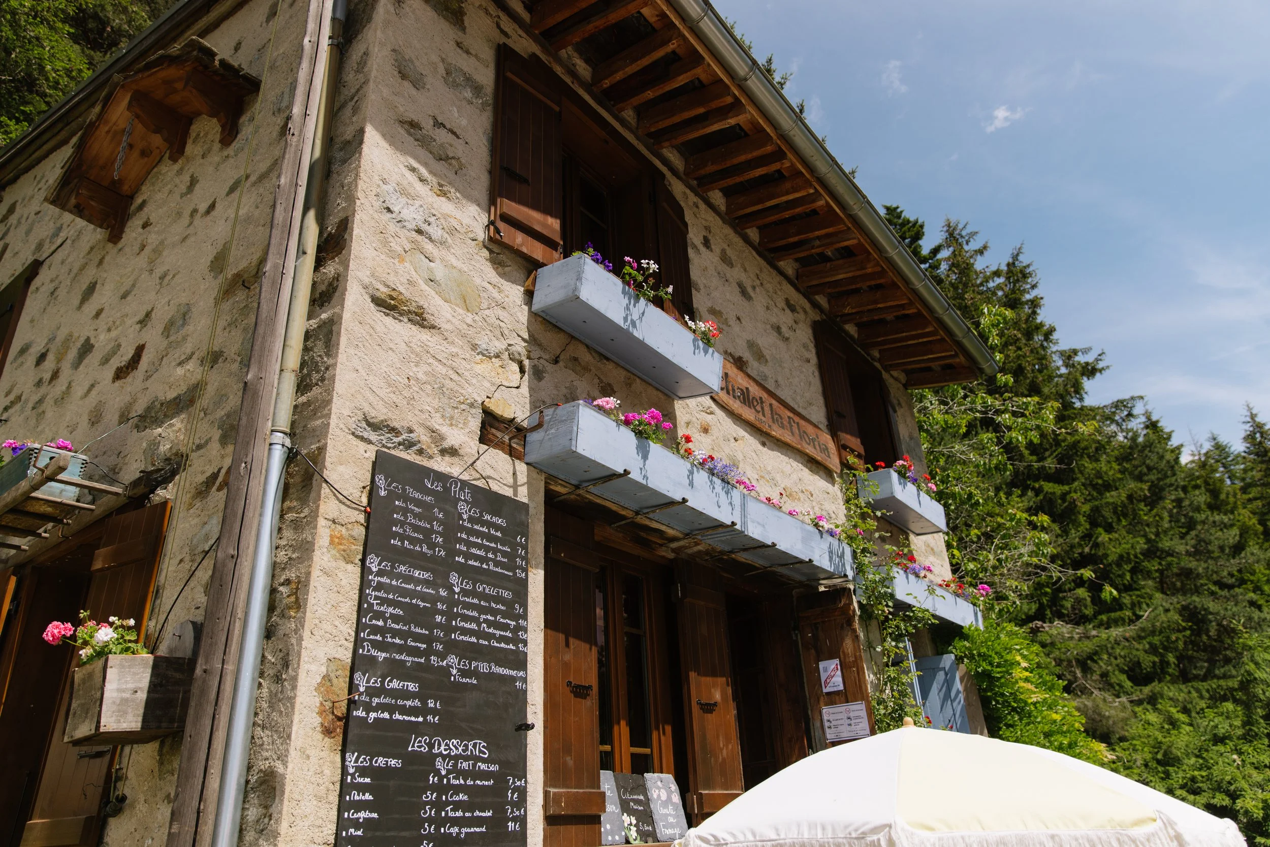
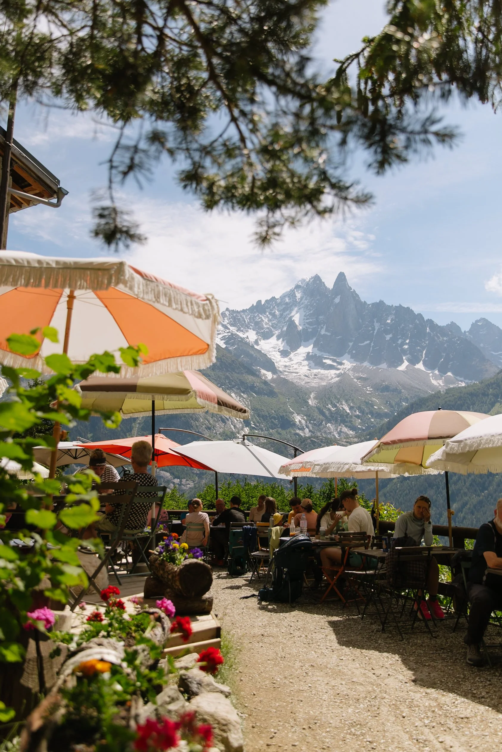
Another no-lift trail that starts directly from downtown, this one climbs up to the Chalet de la Floria - a flower-covered mountain hut perched on the hillside above Chamonix with a terrace full of bistro tables and one of the most beautiful views across the valley I've experienced in the French Alps.
I'll be honest about the hike up: it's steep. I was sweating almost immediately (partly because it was an extremely hot day, but the elevation gain is real regardless). The trail alternates between sections completely surrounded by forest and sections that open up with wide views across the Chamonix valley below - both of which are lovely.
The arrival at Chalet de la Floria is the beautiful reward at the “top” - it's covered in multicolored flowers seen from every angle, with a terrace of bistro tables and vibrant umbrellas and that panoramic view straight out over the valley to the peaks beyond. I ordered a Nutella crepe and an espresso and sat there for a very long time, honestly wishing it could be my house. One can dream!
This hike can also be done as a stop along the longer Petit Balcon Sud trail if you want to extend your day.
Getting there: The trail starts from downtown Chamonix. Head north toward the Les Plans neighborhood, where you’ll walk up the Chemin de la Floriaz road and then follow the signs for Chalet de la Floria.
>> More about Chalet de la Floria in this guide: 5 Best Coffee Shops in Chamonix, France
4. Grand Balcon Nord (One-Way Route)
Distance: 4.3 miles | Elevation gain: 705 ft | Est. time: 2.5-3 hours | Trail type: One-Way
Starting point: Plan de l'Aiguille mid-station → End point: Montenvers Train Station
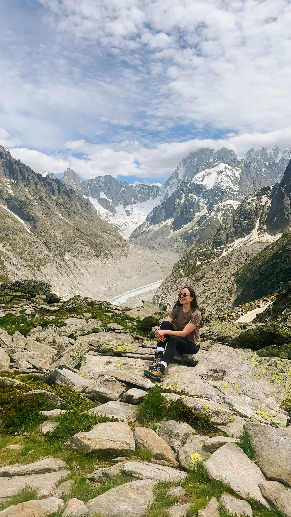
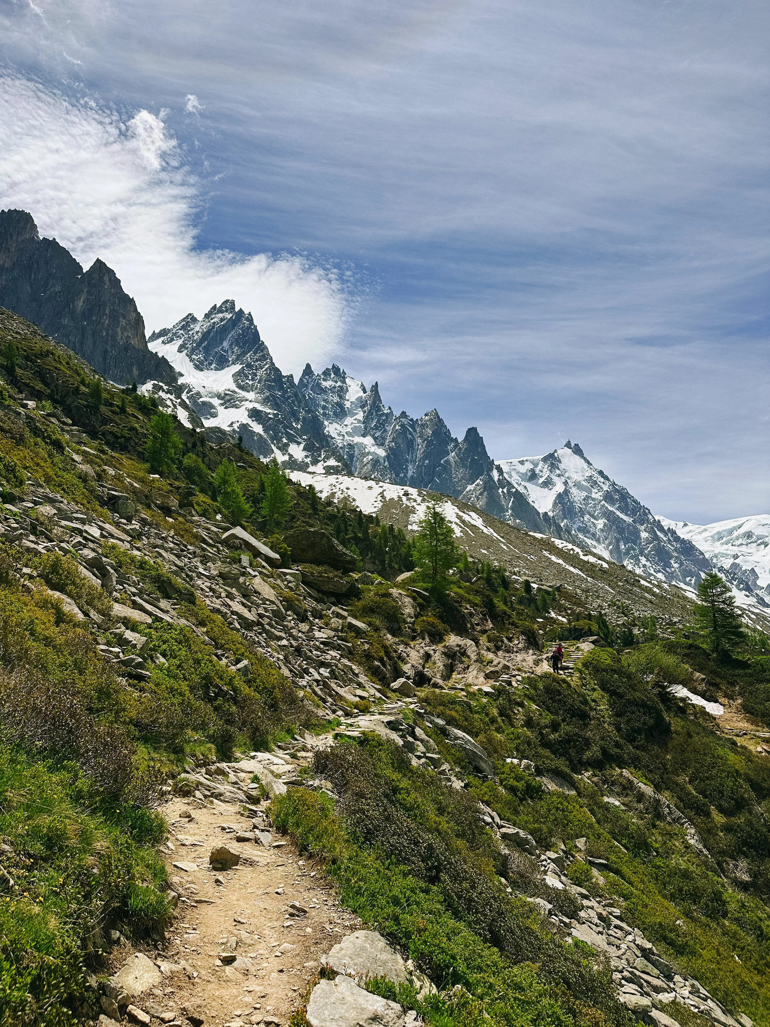
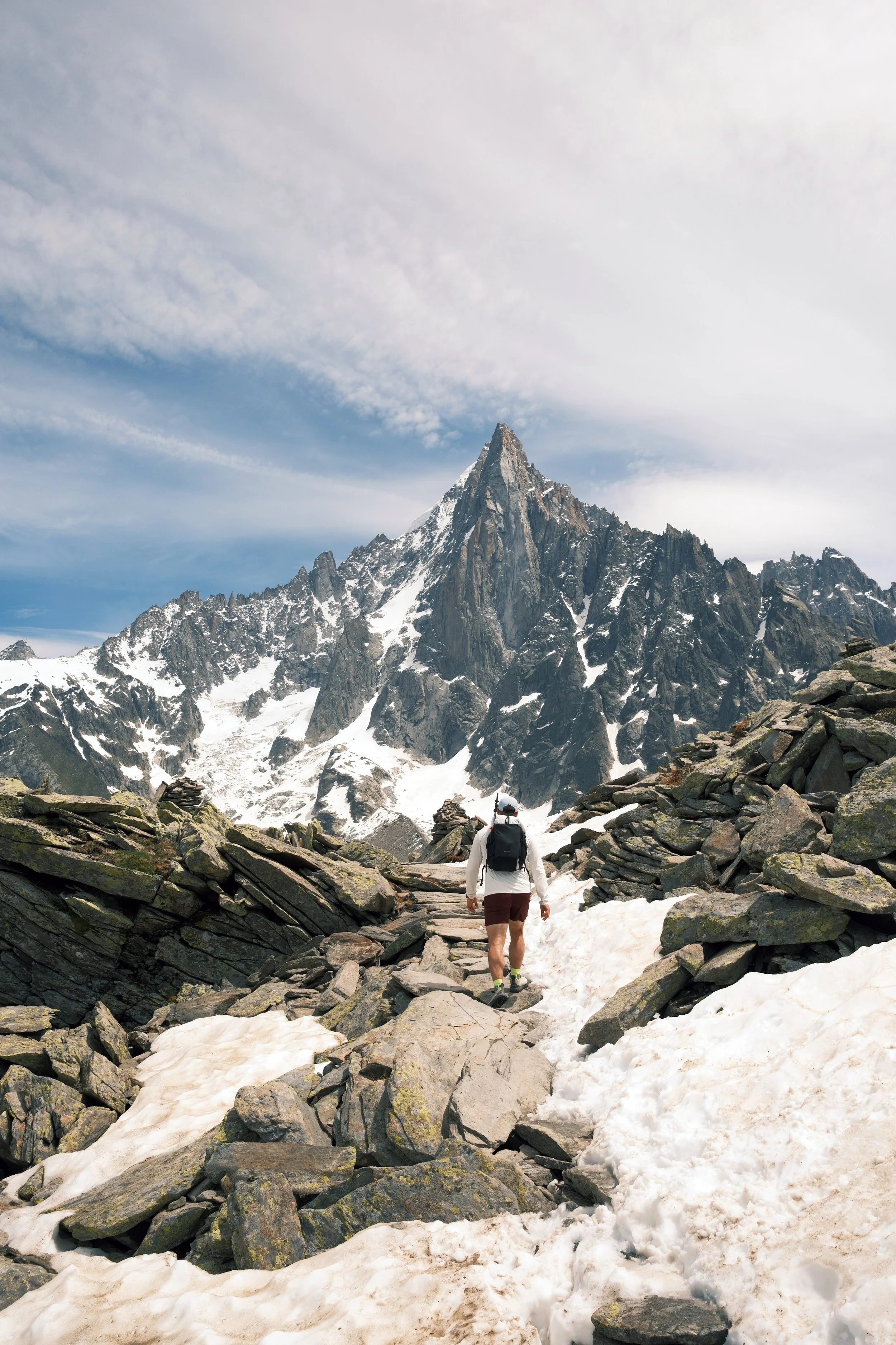
This is the hike I had to actively restrain myself from turning into an all-day photography extravaganza. The views are breathtaking and dramatic the entire way - I could have stopped every 30 seconds for a new photo. A 2.5 hour hike very easily became 4 hours because I simply couldn't stop capturing the views.
The route I did, and highly recommend, runs as a one-way trail from the Aiguille du Midi mid-station across to the Montenvers train station above the Mer de Glace glacier. What makes this particular direction ideal: you take the Aiguille du Midi gondola out of downtown Chamonix halfway up at the start (no brutal uphill beginning) and finish by boarding the historic red Montenvers cogwheel train back down to downtown Chamonix. The whole thing felt like a proper adventure, and because it was all covered under our Mont Blanc Multipass, the logistics were completely seamless.
Along the way you'll walk through open alpine meadows, alongside dramatic rocky ridgelines, and past views of glaciers, the Aiguille du Midi peaks, and the full sweep of the Chamonix valley. You can always pop in for a bit to eat at the incredibly charming Refuge du Plan de l'Aiguille near the start of the trail. We stopped for a picnic sandwich towards the end of the trail with the Mer de Glace views as the backdrop, which is an experience I'd recommend to anyone.
One important note on direction: the descent from the Le Signal Forbes viewpoint (where you look down over the Mer de Glace glacier) down to the upper Montenvers Train Station is pretty steep. I personally preferred going down that super switchback-filled section, rather than the idea of climbing up it. So if you do this trail in the direction I described - take the gondola up, train down - then it's a moderate, very manageable hike.
Getting there: Take the Aiguille du Midi gondola from downtown Chamonix to the halfway point (Plan de l'Aiguille mid-station). Follow the well-marked trail essentially straight across the mountainside. At the end of the hike, board the Montenvers cogwheel train back down to Chamonix. Both are covered by the Mont Blanc Multipass.
5. Lac Blanc (via La Flégère + L'Index lifts)
Distance: 3.73 miles | Elevation gain: 961 ft | Est. time: 2-2.5 hours | Trail type: Out-and-Back
Starting point: Top of L'Index chairlift (via Flégère gondola + L'Index chairlift)
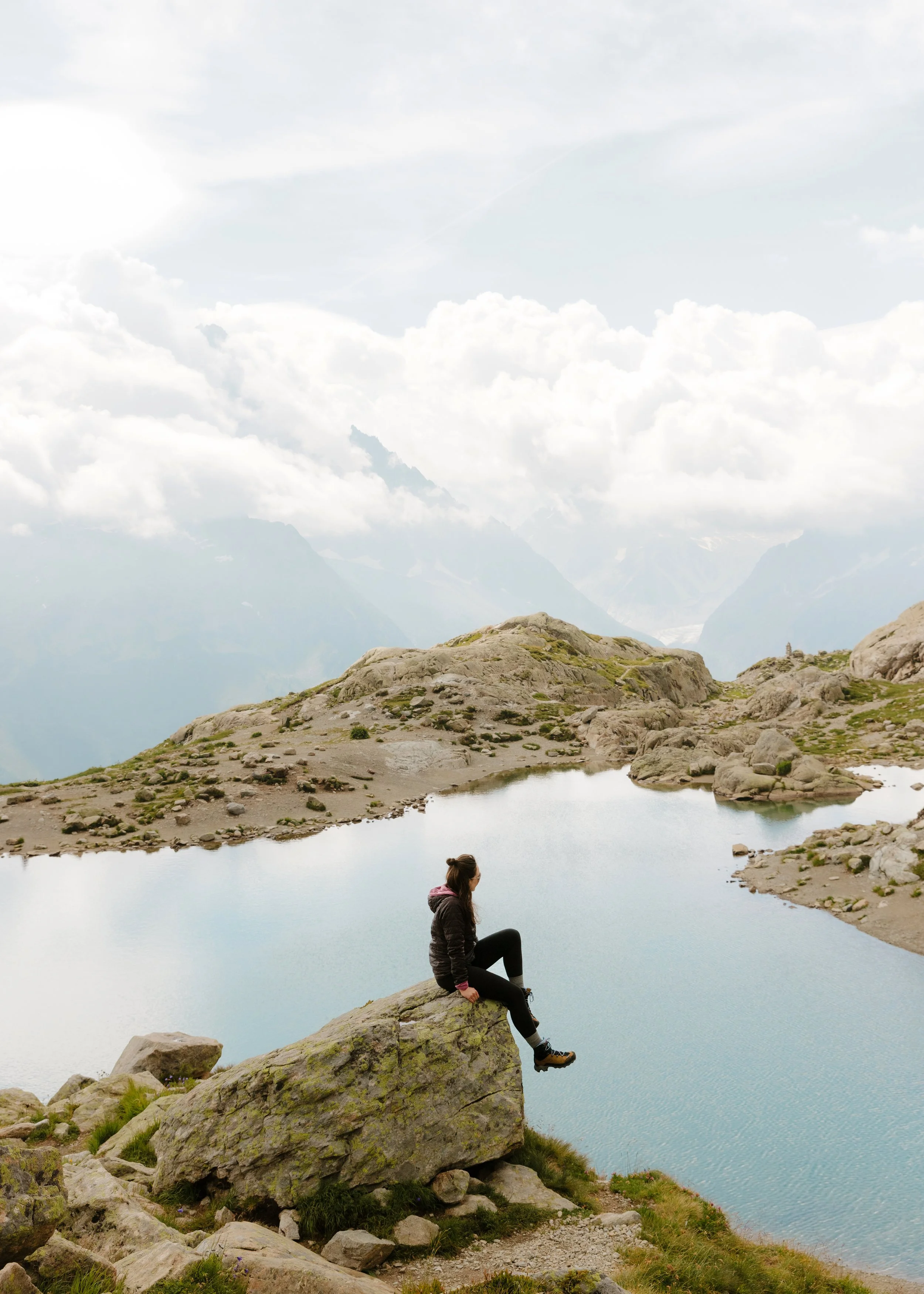
Lac Blanc was the first hike I ever did in Chamonix, and is still one of my top hiking experiences anywhere. The lake sits high above the valley with its two side-by-side basins, and on a clear day the Mont Blanc massif reflects in the water like a mirror. Unfortunately we had a very overcast day, which meant no reflections at all, but it was still gorgeous. I've written a full dedicated guide to this hike, which covers everything from the exact route to what to pack to the best time of day to go - I'd read that before planning this one.
>> Read the full Lac Blanc Hiking Guide
The short version: take the Flégère gondola from Les Praz (just outside Chamonix), transfer immediately to the L'Index chairlift, and start your hike from the top. The trail is well-marked and weaves through scree fields and ridges with constant views, gaining elevation steadily before the lake appears.
A note on difficulty: this hike's difficulty depends entirely on which route you take. If you take both lifts (Flégère + L'Index) to the top as described, it's very much easy-moderate and very manageable. If you only take the Flégère gondola partway up and hike from there, it's significantly harder with much more elevation gain. We did the full lift option, using both the Flégère + L'Index, and I'd absolutely recommend it.
At the lake, pop into the Refuge du Lac Blanc for a snack or a drink. Cash only - come prepared!
Getting there: Drive, take public transport, or walk (~1.5 miles) to Les Praz from downtown Chamonix. Take the Flégère gondola up, then transfer directly onto the L'Index chairlift. Covered by the Mont Blanc Multipass. Check the seasonal schedule before you go - both lifts typically run June through mid-September.
Bonus: Glacier des Bossons (On My List for Next Time)
This one is at the very top of my must-do list for a future Chamonix visit, because sadly the chalet was closed when I last visited. This short hike takes you up to the gorgeous Glacier des Bossons, with a stop at the Chalet du Glacier des Bossons along the way.
For a super easy day, you can alternatively take the chairlift all the way up rather than hiking. From the top station, it is only a 5 minute walk to the chalet. The chairlift (Télésiège Glacier Des Bossons) is open in the summer, but be sure to check the schedule in advance for dates and hours if you go for that option instead of the full hike. This lift is also part of the Mont Blanc Multipass.
Tips for Hiking in Chamonix
Buy the Mont Blanc Multipass if you're using multiple lifts. The Grand Balcon Nord and Lac Blanc hike routes that I’ve outlined both require lift access, as well as Lac Bleu (whether you’re doing that independently, or if you’re adding it onto the Grand Balcon Nord). If you're doing two or more of these hikes, the multipass saves money and means you can just show up and go rather than queuing for individual tickets each time.
>> Buy your Multipass in advance
Check lift schedules before you go. Most lifts in Chamonix run seasonally (roughly June through mid to late September) and have set daily hours. Nothing is worse than arriving at a lift station to find it closed. Always verify before planning your day around a specific trail.
Start early. This applies to everything in Chamonix but especially to the lift-access hikes - queues can build quickly on summer mornings, and early starts mean quieter trails and better light for photography.
Weather changes fast. You can start a hike in the sunshine and find yourself in the clouds an hour later. A waterproof jacket layer that can double as a warmth layer is always a good idea, even on blue sky summer days! You just never know. I would also highly recommend wearing sunscreen no matter what, regardless of cloud cover.
Wear proper footwear. For everything on this list, you’ll want to wear either actual hiking boots or trail runners. Even on the easier trails, the terrain is just not suitable for something like sandals or casual sneakers. My all-time favorite hiking boots are the Danner Mountain 600 (going on 10 years of using and loving these), and for trail runners, my New Balance Fresh Foam X Hierro v9 are insanely comfy.
FAQ
Q: Which Chamonix hike is the easiest?
A: Lac Bleu from the Plan de l'Aiguille mid-station - under a mile, minimal elevation gain, and totally doable for almost anyone. It also works as a short detour if you're already heading up to the Aiguille du Midi mid-station for the Grand Balcon Nord. That’s exactly what we did.
Q: Do I need a Mont Blanc Multipass for these hikes?
A: For three of them - you’ll likely want it. Lac Bleu, Grand Balcon Nord, and Lac Blanc all require lift access that's covered by the multipass. You can buy lift tickets individually, but it just makes more sense to buy the inclusive pass. Cascade du Dard and Chalet de la Floria start from downtown Chamonix with no lifts needed. If you're planning to do all five, the multipass is 100% worth it.
Q: Can I do multiple hikes in one day?
A: Lac Bleu and Grand Balcon Nord pair together perfectly since they both start from the same mid-station - do Lac Bleu as a quick detour first, then set off on Grand Balcon Nord. You could also do something like Chalet de la Floria for a lunch hike, take a break, and then Cascade du Dard in the evening. Essentially, yes - very easy to do multiple hikes in one day if you’re pinched for time.
Q: What time of year are these trails open?
A: Generally June through September for the lift-access trails (Lac Bleu, Grand Balcon Nord, Lac Blanc). The downtown trails (Cascade du Dard, Chalet de la Floria) are accessible year-round in principle, though snow on the trail can make them more challenging in off-peak seasons. Plus, the mountain huts are not open year-round. Always check conditions and opening dates before going.
Q: Are the trails well-marked?
A: Yes - Chamonix's trail network is well-maintained and well-signed throughout the season. That said, downloading the AllTrails route in advance (offline mode) is always a good idea, especially if you're unfamiliar with the area.
Q: What should I pack for a day hike in Chamonix?
A: Water (at least 1.5 liters), snacks, a warm mid-layer, a waterproof jacket, sunscreen (the UV intensity at altitude is serious), sunglasses, and sturdy footwear. For lift-access hikes, bring cash - the mountain refuges often don't accept cards. Trekking poles are optional but helpful on the steeper trails.
Final Thoughts
Chamonix has so much to love - the town itself, the great food options, the scenic cable cars, the beautiful mountain huts, and obviously the landscapes. But, the hiking is definitely the thing that made me fall hardest for this place. These five trails cover everything from a quick waterfall hike to one of the most iconic alpine lake hikes in the French Alps, and all of them are totally achievable in a single day without any technical mountaineering experience.
I hope this guide helps you with planning your Chamonix trip, and helps you narrow down the hike options - because I know there are so many amazing ones to choose from.
Bonne aventure!
More Chamonix guides:
Save this post on Pinterest
5 Best Day Hikes in Chamonix, France (All Under 5 Miles!)